Water-Level and land-subsidence studies in the Mojave River and Morongo groundwater basins; 2007
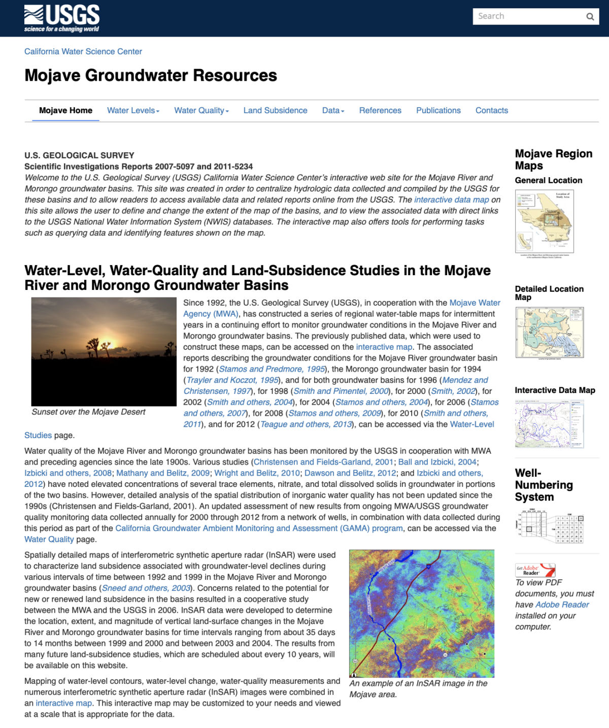
Since 1992, the U.S. Geological Survey (USGS), in cooperation with the Mojave Water Agency (MWA), has constructed a series of regional water-table maps for intermittent years in a continuing effort to monitor groundwater conditions in the Mojave River and Morongo groundwater basins. The previously published data, which were used to construct these maps, can be … Continue reading “Water-Level and land-subsidence studies in the Mojave River and Morongo groundwater basins; 2007”